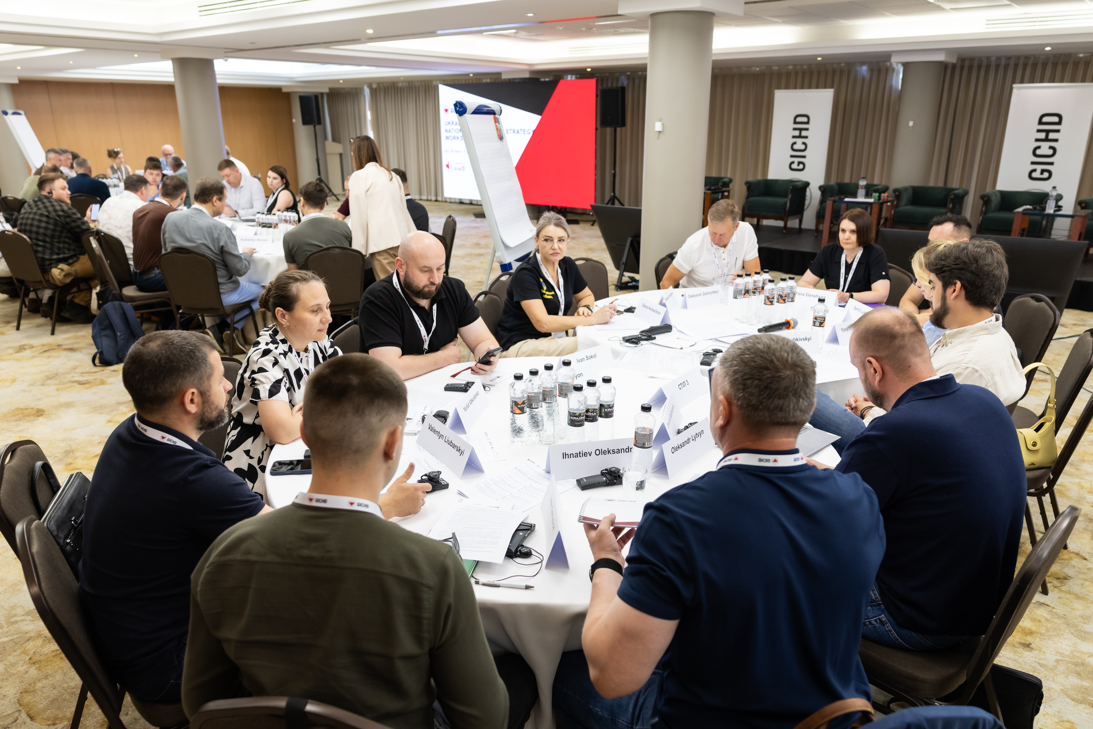
Sectoral Working Group agrees on measures to improve data quality in humanitarian demining
Develop a unified long-term information management roadmap and ensure the completeness of data entered into the IMSMA Core system. These were the key decisions of the 10th meeting of the Humanitarian Demining Sectoral Working Group under the Ministry of Economy, Environment and Agriculture of Ukraine.
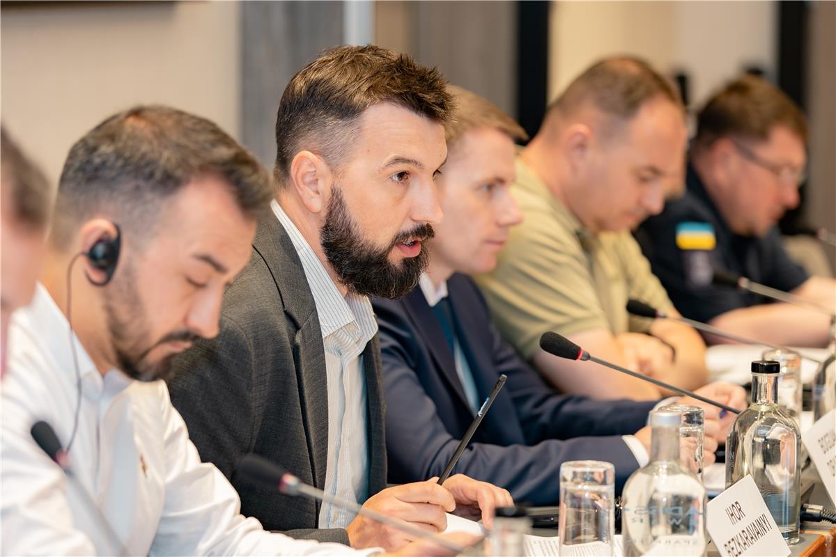
“Information management systems are essential for mine action. They provide reporting, help us understand available resources, and improve planning – all of which are necessary for a well-functioning system. We have been working with IMSMA Core for several years, are already piloting a prioritisation system for mine action, and within the next few months the register of confirmed and suspected hazardous areas will be ready. Good data is like fuel for a car – without it, the system cannot move forward.
One possible solution is to introduce automated data checks that can identify unusual reporting patterns or potential anomalies. For example, the system could flag identical photographs submitted as evidence of completed work, unusually short task durations, or other data that requires additional verification,” said Ihor Bezkaravainyi, Deputy Minister of Economy, Environment and Agriculture of Ukraine.
During the meeting, members of the Sectoral Working Group were also informed about the development of two new digital tools that will improve coordination and transparency across Ukraine’s mine action sector.
The first is the Donor Platform, which will match the needs of beneficiaries with donor funding opportunities.
The second is CLEAR, an internal business process automation system for the Ukrainian Humanitarian Demining Centre. CLEAR will exchange data with Diia, Prozorro, the State Agrarian Register, as well as the IMSMA and GRIT systems. This level of integration and transparency will support the implementation of the state-funded Humanitarian Demining Programme.
About IMSMA Core
IMSMA Core is an information management system used to collect, process, analyse and share data on areas affected by hostilities, explosive ordnance findings, survey and clearance activities, operator accreditation, and other mine action information.